
Feast or Flood: The El Niño Forecast Every California Grower Needs to See Before Fall
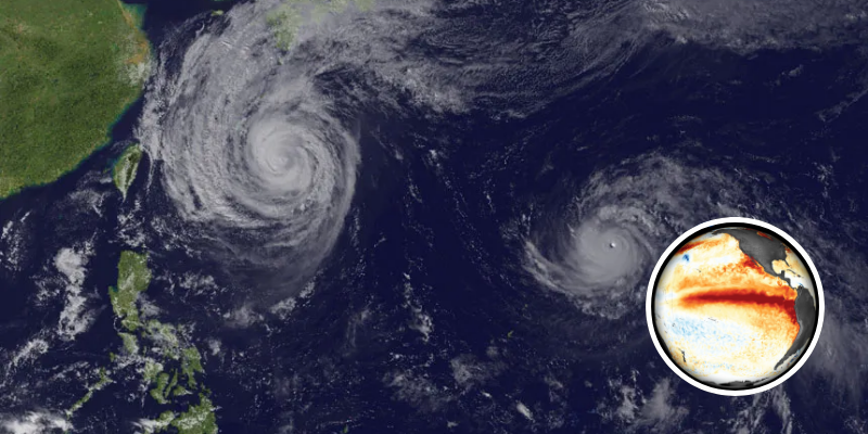
California farmers heading into fall are facing a forecast that has only grown more emphatic in recent weeks. In its most recent monthly assessment, issued August 13, NOAA’s Climate Prediction Center reported that El Niño is strengthening, with a greater than 90% chance of a very strong event during the Northern Hemisphere fall and winter 2026-27.
The numbers behind that call are striking. Sea surface temperature anomalies in the eastern equatorial Pacific have already exceeded +2.0°C, with subsurface temperature anomalies reaching as high as +10.0°C at depth — a deep reservoir of warm water feeding the event’s continued growth. Most consequentially for the season ahead, NOAA now puts the odds of a historic event, one that would exceed the strength of any El Niño dating back to 1950, at 69% for the October-through-December peak.
For a Central Valley just battered by a heat-driven pistachio disaster and hundreds of millions in crop losses this year, the shift from a dry, scorching spring toward a potentially very wet winter is a significant turn — one carrying both relief and real risk.
The upside: water and drought relief
For a state that gets most of its precipitation from a handful of winter storms, a strong El Niño tilts the odds toward a wetter-than-average winter, particularly across central and southern California. Strong past events have delivered well above-normal rainfall, which would translate into replenished reservoirs, recharged groundwater, and relief for growers who have spent recent years navigating tight water allocations under SGMA.
Some crops could benefit directly. A wetter winter and milder summer can act as a tailwind for crops that draw on dormant-season moisture, and University of California Cooperative Extension specialists note that the strongest tilt in the odds this year favors central and southern parts of the state, provided rainfall timing aligns with crop needs and summer temperatures stay manageable.
The risk: flooding and a snowpack problem
The same storm track that fills reservoirs can overwhelm them. A very strong El Niño raises the risk of individual heavy precipitation events and inland flooding, driven largely by atmospheric rivers, the narrow bands of moisture that produce California’s biggest storms. Growers near the Tulare Lake basin remember this acutely: the 2022-23 atmospheric-river winter flooded vast stretches of the southern San Joaquin Valley and destroyed specialty crops worth tens of millions of dollars.
There’s a subtler risk as well. Warmer storms mean more precipitation falls as rain rather than snow in the Sierra Nevada and that snowpack normally supplies close to a third of the state’s water by melting slowly through spring and summer. A wet winter that arrives as rain rather than snow can mean flooding in the winter and less stored water later in the year.
The crucial caveat
Growers should be wary of treating any of this as settled. Even a very strong El Niño does not guarantee specific outcomes in California, and the historical record includes a notable bust: the 2015-16 event was, by ocean temperature, comparable to the biggest on record — yet it delivered less rain than an average non-El Niño year, with most of what fell landing in the north.
Part of the reason is that the real wildcard doesn’t follow El Niño’s lead. Research from UC San Diego’s Scripps Institution of Oceanography found that atmospheric rivers explain the majority of atypical ENSO years and can overwhelm the influence of El Niño and La Niña on annual precipitation totals in the West. As one of the study’s authors put it, atmospheric rivers “don’t dance to the tune of ENSO” — which is precisely why a strong El Niño shifts the probabilities without locking in the outcome.
The takeaway for the season ahead is that a strong El Niño shifts the odds and nothing more. Forecasters expect peak impacts to arrive by November or December and possibly linger through March, meaning preparedness decisions, drainage, equipment, water-storage planning, flood contingencies, are best made this autumn, before the storm track reveals its hand. NOAA’s next ENSO update is scheduled for September 10.